
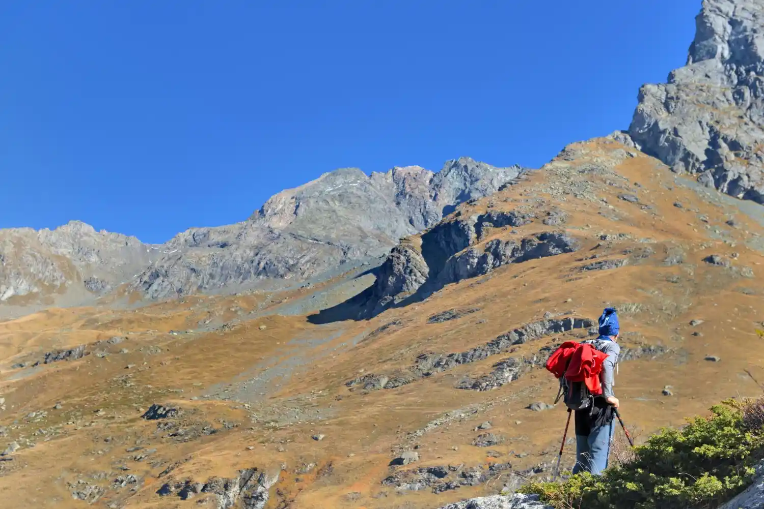
What Is Sar Pass Trek and When Is the Best Time to Do It?
Sar Pass Trek is a popular Himalayan trek in the Parvati Valley of Himachal Pradesh, starting from Kasol and reaching an altitude of about 4,200 meters. The best time to do Sar Pass Trek is from May to early June for snow trails and clear views, and late September to October for stable weather and fewer crowds.
Sar Pass Trek at a Glance
Sar Pass trek height
Sar Pass stands at an altitude of approximately 4,200 meters (13,780 feet) above sea level. The summit offers panoramic views of the Parvati Valley and surrounding Himalayan peaks.
Sar Pass trek distance
The total trekking distance is around 45–50 kilometers, depending on the route and campsite variations. It is usually covered over multiple days with gradual elevation gain.
Starting point (Kasol)
The trek begins from Kasol, a small village in Himachal Pradesh known as the gateway to Parvati Valley. From Kasol, trekkers move toward Grahan village before ascending further.
Trek duration
Sar Pass Trek typically takes 4 to 5 days, including ascent, summit day, and descent via Barshaini.
Difficulty level
The trek is considered moderate. It is suitable for beginners with basic fitness preparation, though snow sections and summit ascent require steady endurance.
Best season overall
The most popular and recommended season is May to early June, when snow is still present on higher sections. For clearer trails and less snow, late September to October is also suitable.
Where Is Sar Pass Located?
Sar Pass is located in the Kullu district of Himachal Pradesh, within the scenic Parvati Valley region of the Indian Himalayas. It lies at a high-altitude mountain pass that connects the upper reaches of Parvati Valley to remote alpine meadows beyond.
Location in Himachal Pradesh
Sar Pass sits in the northeastern part of Himachal Pradesh, in the Garhwal–Kullu Himalayan belt. The region is known for dense forests, traditional villages, alpine campsites, and snow-covered ridgelines during spring.
The trek falls under the Parvati Valley zone, which is a popular base for several Himalayan trekking routes.
Sar Pass in Parvati Valley
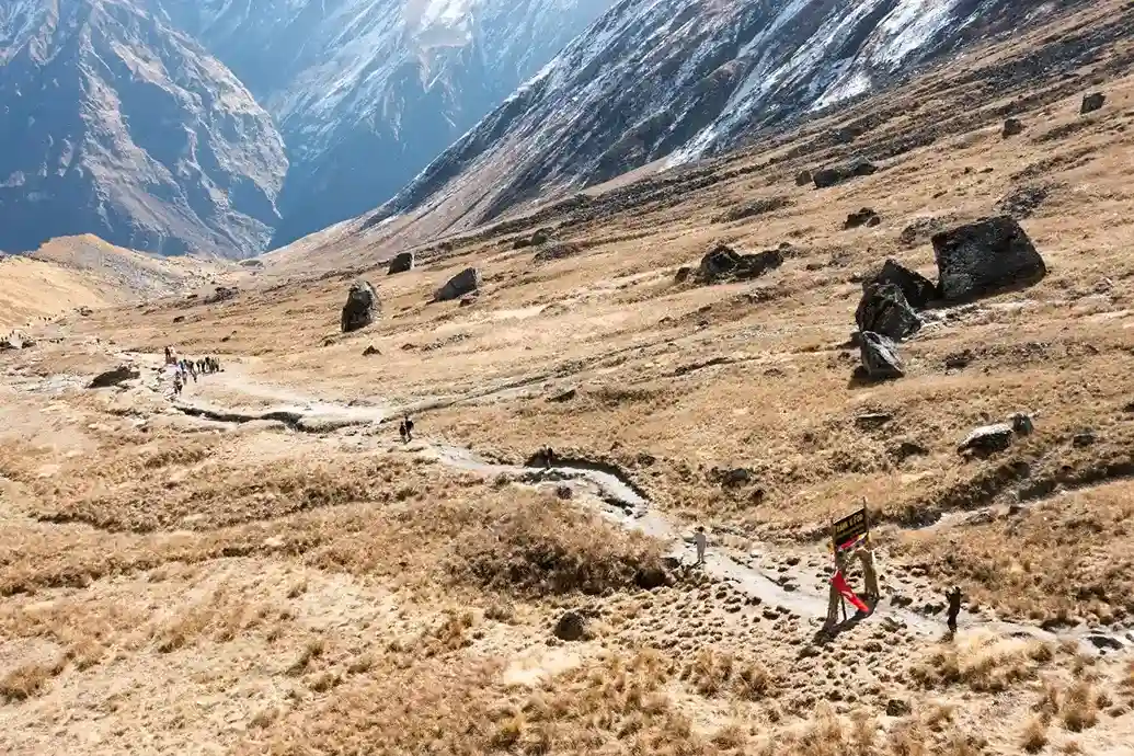
Sar Pass forms part of the trekking circuit in Parvati Valley, a valley carved by the Parvati River. The trail gradually ascends through pine forests, open meadows, and snowfields before reaching the pass.
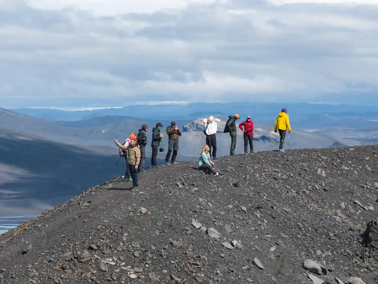
The summit offers wide views of surrounding Himalayan ridges and valleys, making it one of the more visually rewarding treks in this region.
Relation to Kasol
Kasol serves as the starting point (base camp) for the Sar Pass Trek. Trekkers begin from Kasol and usually reach Grahan village on the first day before moving toward higher camps.
Because of this connection, the trek is often referred to as the Sar Pass Trek from Kasol.
Himalayan Range Overview
Sar Pass lies within the Himalayan mountain range, specifically in the lower and middle Himalayan zone of Himachal Pradesh. The landscape transitions from forested slopes at lower altitudes to snow-covered terrain near the summit.
The combination of alpine meadows, snow sections, and mountain panoramas makes it a classic Himalayan trekking experience.
Sar Pass Trek Route and Map
Understanding the route helps set realistic expectations. Sar Pass follows a gradual ascent from forest trails to alpine snow slopes before descending through a different valley section.
Route Overview
The classic Sar Pass route follows this sequence:
Kasol → Grahan Village → Min Thach → Nagaru → Sar Pass Summit → Biskeri Thach → Barshaini
The ascent happens steadily over the first three days, with summit day being the most physically demanding. The descent is typically quicker but includes long downhill stretches.
Base Camp in Kasol
The trek begins from Kasol, located at approximately 1,580 meters. Most trek operators conduct orientation sessions here before moving toward Grahan village on foot.
Kasol acts as the logistical base for:
- Gear check
- Final registrations
- Group briefings
Major Campsites
The trek includes a series of well-known camps:
Grahan (Approx. 2,350 m)
A traditional Himalayan village and the first halt after leaving Kasol.
Min Thach (Approx. 3,300 m)
An open meadow offering views of surrounding ridges.
Nagaru (Approx. 3,800 m)
The highest campsite before the summit. Temperatures here drop significantly, especially in May.
Biskeri Thach (Approx. 3,400 m)
Reached after crossing the Sar Pass summit; known for alpine meadows.
Elevation Gain Breakdown
- Kasol: ~1,580 m
- Grahan: ~2,350 m
- Min Thach: ~3,300 m
- Nagaru: ~3,800 m
- Sar Pass Summit: ~4,200 m
The most significant elevation gain occurs between Min Thach and Nagaru, and again during summit push.
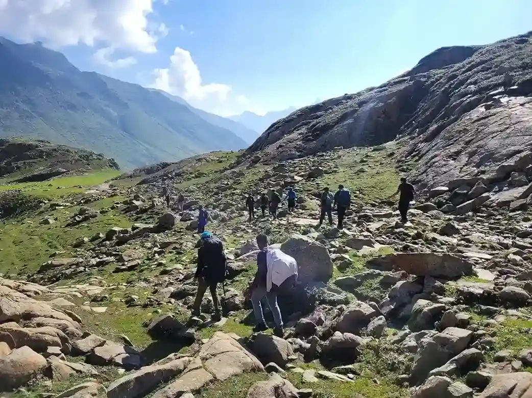
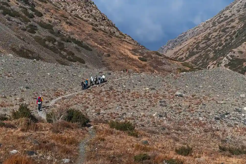
Trekking Terrain Type
The terrain changes noticeably as you ascend:
- Forest trails and village paths (Day 1–2)
- Meadow sections and gradual slopes (Day 2–3)
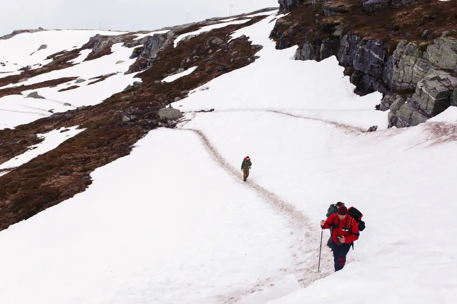
- Snow patches and steep summit climb (Day 4 in May)
- Long downhill forest descent (Final day)
Snow sections are common in May and early June, while post-monsoon months feature clearer dirt and rock trails.
Sar Pass Trek Distance and Height
Total Trekking Distance
The total Sar Pass Trek distance is approximately 45 to 50 kilometers, depending on route variation and campsite layout.
Maximum Altitude Reached
The highest point of the trek is Sar Pass Summit at around 4,200 meters (13,780 feet) above sea level.
Daily Distance Covered
On average:
- Day 1: 8–10 km
- Day 2: 7–9 km
- Day 3: 6–7 km
- Summit Day: 12–14 km (longest day including descent)
- Final Day: 6–8 km
Summit day is typically the longest and most physically demanding.
Elevation Comparison with Other Himalayan Treks
Compared to other beginner-friendly Himalayan treks:
- Sar Pass (4,200 m) is slightly higher than Kedarkantha (~3,800 m)
- Lower than Hampta Pass (~4,270 m)
- More snow-prone in early season compared to moderate treks like Triund
It is considered a moderate trek, suitable for beginners with preparation but challenging enough to feel like a true Himalayan experience.
Sar Pass Temperature and Weather Guide
Weather plays a critical role in planning the Sar Pass Trek. Because the summit reaches around 4,200 meters, temperature and trail conditions vary significantly by month. Choosing the right season depends on whether you want snow, clear mountain views, or stable trekking conditions.
March to April – Early Season
Snow conditions
During early spring, higher sections of the trail remain heavily snow-covered. Camps near Nagaru and the summit area may still have deep snow patches.
Temperature range
Daytime temperatures range between 5°C and 15°C at lower camps. At higher camps, nights can drop to -5°C to -10°C.
Who should go
This period is better suited for experienced trekkers comfortable with cold conditions and snow trekking. Beginners may find early-season snow sections physically demanding.
May – Snow Trail Season
May is the most popular time for the Sar Pass Trek.
Is there snow in Sar Pass in May?
Yes. Snow is typically present on the upper stretches and summit section during May, especially around Nagaru and Sar Pass. This is when trekkers experience the well-known snow slide descent from the summit.
Trail condition
Lower sections are clear forest trails, while higher sections have compact snow. Proper trekking shoes and layered clothing are essential.
Crowd level
May sees the highest number of trekkers, particularly during long weekends and summer vacation periods.
June – Clear Views and Melting Snow
Temperature range
Day temperatures range from 10°C to 20°C at lower camps, while summit temperatures remain cooler around 0°C to 8°C.
Visibility and weather stability
Snow begins to melt significantly by mid to late June. Trails become clearer, and the region offers expansive mountain views with improved visibility.
This month suits trekkers who want a balance between manageable weather and scenic Himalayan landscapes without extreme snow.
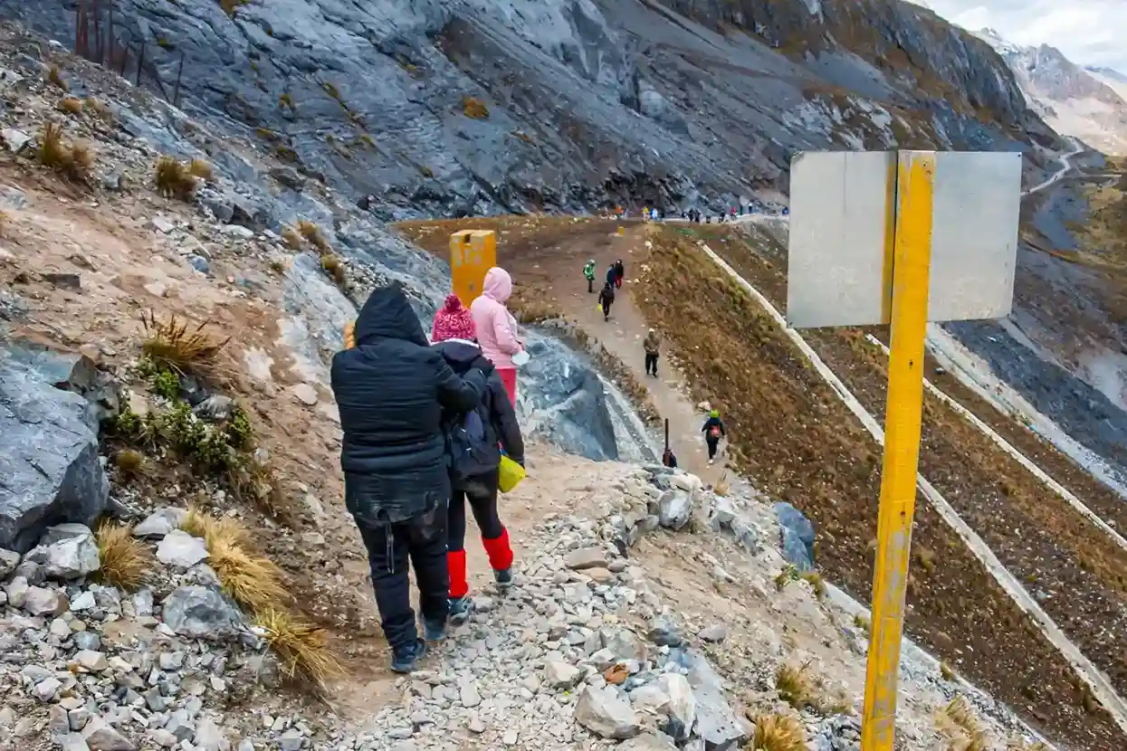
September to October – Post-Monsoon Window
Weather clarity
After the monsoon, skies are clearer and mountain views appear sharper. Day temperatures are moderate, while nights can feel cold at higher camps.
Trek suitability
This is a good time for those who prefer dry trails over snow. The terrain is mostly snow-free, making it easier for beginners who are not specifically looking for a snow experience.
Crowds are significantly lower compared to May.
Monsoon and Winter Closure
Why trekking is restricted
During July and August, heavy rainfall increases the risk of landslides and slippery trails in Parvati Valley. In winter (November to February), heavy snowfall blocks higher sections of the route.
Safety concerns
- Unstable mountain roads during monsoon
- Slippery and muddy trails
- Avalanche and deep snow risks in winter
- Limited rescue accessibility
For safety reasons, most organized Sar Pass Trek departures are scheduled only during late spring and early autumn windows.
When to Do Sar Pass Trek Based on Your Preference
The right time for the Sar Pass Trek depends on what kind of experience you’re looking for — snow adventure, beginner-friendly trails, photography opportunities, or fewer crowds.
Best Time for Snow Experience
If your goal is to walk on snow and experience the famous summit slide, May to early June is ideal. This is when higher sections near Nagaru and the Sar Pass summit remain snow-covered. Snow conditions are generally stable, making it the most popular time for a classic Himalayan snow trek.
Best Time for Beginners
For first-time trekkers, late May, June, or late September are the most suitable windows. During these months, weather conditions are relatively stable, and trails are more predictable. June offers reduced snow difficulty compared to early May, while September provides mostly clear and dry terrain.
Best Time for Photography
If mountain views and landscape photography matter most, choose October. Post-monsoon clarity improves visibility, and skies are typically sharper and cleaner. Snow-capped ridges combined with autumn tones create strong contrast for photography.
Best Time to Avoid Crowds
To experience quieter campsites and fewer trekking groups, consider late September or early October. The major rush of May departures is over, and weather remains favorable. This period offers a calmer trekking environment without heavy snowfall.
Sar Pass Trek Difficulty Level
Sar Pass Trek is generally classified as a moderate Himalayan trek. It is suitable for beginners with preparation, but it is not effortless. The combination of altitude gain, snow sections, and long summit day makes it physically demanding in parts.
Is Sar Pass Suitable for Beginners?
Yes, Sar Pass is considered beginner-friendly compared to high-altitude technical treks. However, beginners should not treat it casually. The trek involves:
- Continuous elevation gain
- Cold temperatures at higher camps
- Snow walking during early season
With basic training and proper guidance, first-time trekkers can complete it comfortably.
Required Fitness Level
You should be able to:
- Walk 5–6 kilometers daily without fatigue
- Jog or brisk-walk for 30 minutes continuously
- Climb stairs for 10–15 minutes without breathlessness
Basic cardio training 3–4 weeks before the trek significantly improves endurance. Strong legs and steady pacing are more important than speed.
Steep Sections
The climb from Min Thach to Nagaru and the final push toward the Sar Pass summit are the steepest sections of the trek.
Summit day can feel long because it combines:
- Early morning ascent
- Snow-covered slopes (in May)
- Extended downhill descent
This is typically the most physically challenging day.
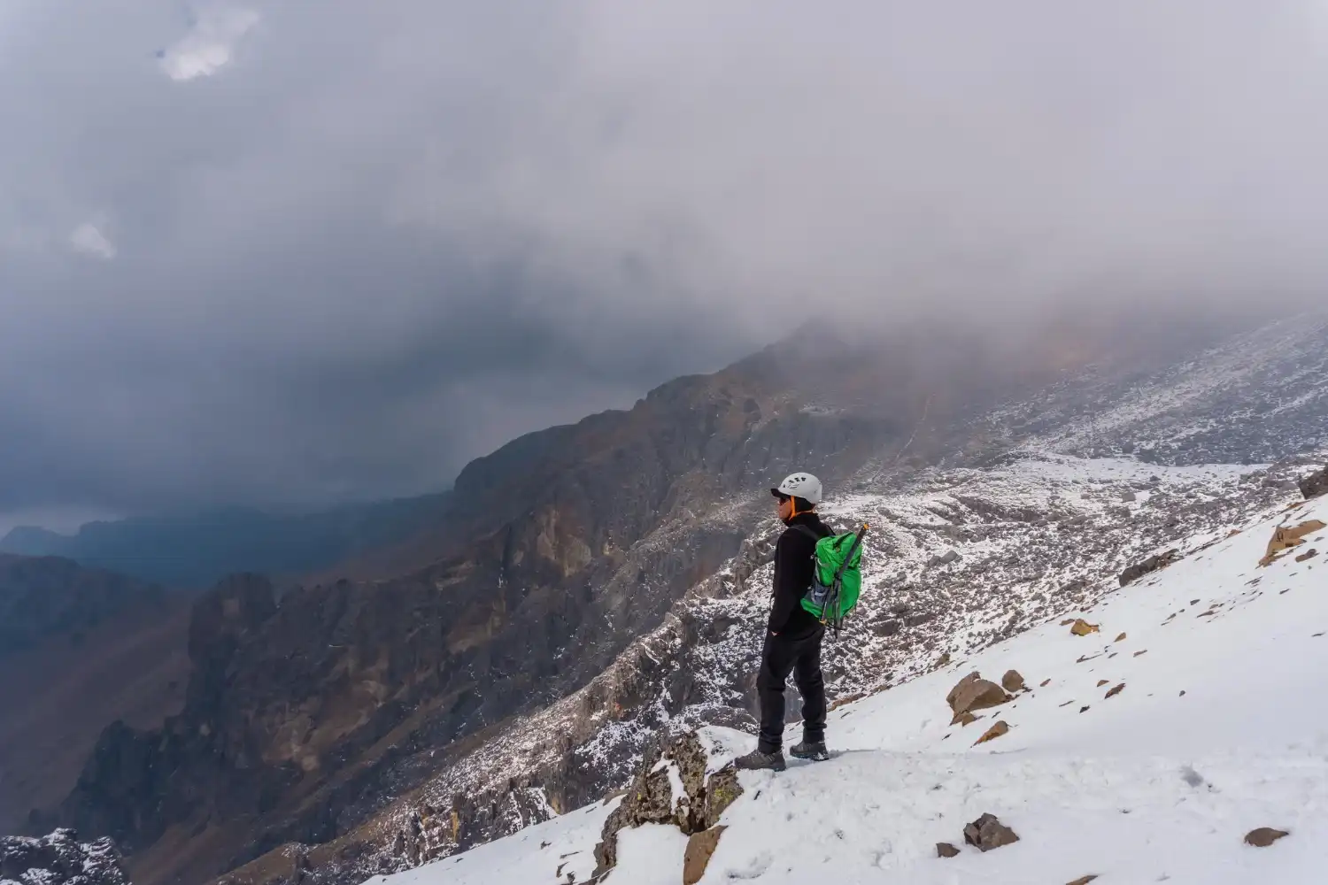
Snow Crossing Challenges
During May and early June, trekkers encounter snow patches near higher camps and at the summit.
Challenges include:
- Slippery surfaces
- Walking with microspikes (if provided)
- Maintaining balance during descent
The famous snow slide descent is enjoyable but requires controlled movement and guidance from trek leaders.
Comparison with Other Himalayan Treks
- Slightly more challenging than Triund
- Comparable to Kedarkantha in difficulty
- Slightly lower in altitude than Hampta Pass, but similar in physical effort
Sar Pass is ideal for those who want a true Himalayan experience without extreme technical difficulty.
Detailed Sar Pass Trek Itinerary (5 Days from Kasol)

This is the standard 5-day route followed by most trekking groups starting from Kasol. The itinerary balances gradual acclimatization with steady elevation gain, making it suitable for prepared beginners.
Day 1 – Kasol to Grahan Village
- Starting altitude: ~1,580 meters
- Ending altitude: ~2,350 meters
- Trek distance: 8–10 km
- Duration: 4–5 hours
The trek begins from Kasol after a briefing session. The trail follows forest paths and small streams before gradually ascending toward Grahan village.
Grahan is a traditional Himalayan village with wooden homes and open meadows. This first day helps your body begin acclimatizing to altitude while keeping the pace moderate.
Day 2 – Grahan to Min Thach
- Starting altitude: ~2,350 meters
- Ending altitude: ~3,300 meters
- Trek distance: 7–9 km
- Duration: 5–6 hours
The trail becomes steeper as you leave the village behind. Dense pine forests gradually open into wider meadow sections.
Min Thach is a scenic campsite with panoramic valley views. By this point, the temperature begins to drop, especially at night. Proper layering becomes important from this stage onward.
Day 3 – Min Thach to Nagaru
- Starting altitude: ~3,300 meters
- Ending altitude: ~3,800 meters
- Trek distance: 6–7 km
- Duration: 4–5 hours
This section involves steady ascent through alpine terrain. The landscape begins to feel more rugged, and snow patches are common during May and early June.
Nagaru is the highest campsite of the trek. Nights here are cold, often dropping below freezing. Hydration and slow pacing are important to manage altitude gain.
Day 4 – Nagaru to Sar Pass Summit to Biskeri Thach
- Summit altitude: ~4,200 meters
- Trek distance: 12–14 km (longest day)
- Duration: 7–9 hours
Summit day begins early, often before sunrise. The climb to Sar Pass involves steep sections and, in peak season, snow-covered terrain.
From the summit, trekkers get expansive views of the Parvati Valley and surrounding Himalayan peaks.
After crossing the pass, the descent toward Biskeri Thach begins. In May, this section often includes a snow slide descent. The day ends at Biskeri Thach, a meadow campsite surrounded by mountain ridges.
Day 5 – Biskeri Thach to Barshaini and Return to Kasol
- Trek distance: 6–8 km downhill
- Duration: 4–5 hours
The final day involves descending through forested trails toward Barshaini village. The downhill stretch can be long, so careful footing is important.
From Barshaini, vehicles transport trekkers back to Kasol, marking the completion of the Sar Pass Trek.
This 5-day itinerary allows gradual acclimatization while covering varied terrain — from forest trails to alpine snowfields — making Sar Pass one of the most balanced Himalayan trekking routes.
Cost of Sar Pass Trek

The cost of the Sar Pass Trek depends on whether you choose an organized trekking package or attempt it independently. Since this is a high-altitude multi-day trek, most beginners opt for guided groups.
Trek Package Cost
The average Sar Pass trek package cost ranges between:
₹6,000 to ₹9,000 per person
(5 days, ex-Kasol)
Prices vary depending on the trekking company, season, and inclusions.
What Is Included in Most Packages
Standard inclusions usually cover:
- Accommodation in tents during the trek
- Meals from Day 1 lunch to Day 5 breakfast
- Trek leader and support staff
- Permits and forest entry fees
- Basic first-aid support
- Sleeping bags and camping equipment
Transport to Kasol and personal expenses are generally excluded.
Independent Trekking Cost
Doing Sar Pass independently is not very common due to:
- Route navigation complexity
- Snow sections in peak season
- Permit and campsite coordination
If attempted independently, approximate expenses may include:
- Stay in villages and camps
- Local guide charges
- Food and gear rental
- Permit fees
Independent trekking may cost around ₹4,000 to ₹7,000, but requires strong route knowledge and experience.
Seasonal Price Variation
- Peak pricing: May (highest demand due to snow season)
- Moderate pricing: June and September
- Limited operations: Monsoon and winter (most operators suspend departures)
Early bookings during peak season can help secure better rates.
Packing List for Sar Pass Trek

Packing correctly is crucial for comfort and safety, especially since temperatures drop significantly at higher camps.
Essential Clothing
- Thermal inner layers (top and bottom)
- Fleece jacket
- Down or padded jacket
- Trekking pants (quick-dry)
- Full-sleeve base layers
- Warm cap and gloves
Layering is more effective than carrying bulky clothing.
Snow Gear
For May and early June departures:
- Microspikes (usually provided by trek organizers)
- Waterproof gloves
- Sunglasses (to prevent snow glare)
- Sunscreen (SPF 50+)
Snow reflection at high altitude can be intense.
Footwear
- High-ankle trekking shoes with good grip
- Moisture-wicking socks (3–4 pairs)
- One lightweight pair of sandals for camps
Shoes should be broken in before the trek to avoid blisters.
Backpack Weight Advice
Your backpack should ideally weigh 8–10 kg maximum, including personal items. Avoid overpacking. Most operators provide common camping equipment separately.
Carry:
- Reusable water bottle
- Basic toiletries
- Personal medicines
- Lightweight towel
Weather-Specific Gear
- Rain cover for backpack
- Poncho or waterproof jacket
- Headlamp with extra batteries
- Trekking pole (recommended for descent)
Weather in the Himalayas can change quickly, so preparedness is more important than convenience.
Travel Tips Before Doing Sar Pass Trek
Sar Pass may be beginner-friendly, but it is still a high-altitude Himalayan trek. Preparation and awareness make a significant difference in how comfortable and safe your experience will be.
Acclimatization Advice
Although the trek gains altitude gradually, your body still needs time to adjust. Walk at a steady pace, avoid rushing uphill, and take short breaks instead of long halts.
Arriving in Kasol a day early can also help your body begin adjusting before the ascent begins.
Hydration Tips
Staying hydrated is essential at high altitude. Drink small amounts of water consistently throughout the day rather than waiting until you feel thirsty.
Carry a reusable bottle and aim for 2–3 liters daily during trekking days. Warm fluids at camps also help maintain body temperature.
Avoiding Altitude Sickness
Sar Pass reaches around 4,200 meters, where mild altitude symptoms can occur.
To reduce risk:
- Ascend slowly and maintain consistent pacing
- Avoid alcohol before and during the trek
- Eat properly even if appetite reduces
- Inform your trek leader if you experience headache, nausea, or dizziness
Listening to your body is more important than reaching the summit quickly.
Mobile Network Availability
Mobile network coverage is available in Kasol and Grahan, but connectivity weakens significantly beyond Min Thach. At higher camps like Nagaru, signal is usually unavailable.
Inform family members in advance that you may be unreachable for 2–3 days during the core trek section.
Responsible Trekking Practices
- Do not litter; carry back all plastic waste
- Respect local villages and cultural norms
- Avoid loud music at camps
- Follow instructions from trek leaders
- Stay on marked trails to protect fragile alpine ecosystems
Responsible trekking ensures the Parvati Valley remains preserved for future trekkers.
Is Sar Pass Trek Worth Doing in 2026?
Sar Pass remains one of the most balanced Himalayan treks — offering snow, forest trails, alpine meadows, and summit views within a manageable 5-day window.
Who Should Attempt It
Sar Pass is ideal for:
- First-time Himalayan trekkers
- College groups and young travelers
- Adventure seekers wanting snow experience
- Those preparing for higher-altitude treks later
With preparation, it provides a strong introduction to multi-day Himalayan trekking.
What Makes It Different from Other Treks
Unlike shorter treks like Triund, Sar Pass offers:
- Multi-day camping experience
- High-altitude summit crossing
- Snow slide descent (in May)
- Diverse terrain in a single itinerary
It combines challenge and accessibility without becoming technical.
Scenic Highlights
- Forest trails from Kasol to Grahan
- Open meadows at Min Thach and Biskeri Thach
- Snow-covered slopes near Nagaru
- Panoramic Himalayan views from the summit
The changing landscape across five days keeps the trek visually engaging.
Snow Trail Experience
For many trekkers, the highlight is crossing snow sections near the summit in May. The controlled snow slide descent adds a memorable element to the journey.
It is adventurous without being extreme, making Sar Pass one of the most popular spring Himalayan treks.
FAQ's
Where is the Sar Pass located?
Sar Pass is located in the Parvati Valley region of Himachal Pradesh, in the Kullu district. The trek starts from Kasol and ascends through Grahan, Min Thach, and Nagaru before crossing the Sar Pass summit at around 4,200 meters.
When is the best time to do Sar Pass Trek?
The best time to do the Sar Pass Trek is May to early June for snow trails and classic summit slide experience. Another good window is late September to October, when the weather is stable and trails are mostly snow-free.
Is there snow in Sar Pass in May?
Yes, Sar Pass usually has snow in May, especially near Nagaru campsite and the summit section. This is the most popular time for trekkers seeking a snow experience, including the well-known snow slide descent.
What is the height of Sar Pass?
Sar Pass stands at an altitude of approximately 4,200 meters (13,780 feet) above sea level, making it a high-altitude Himalayan trek suitable for prepared beginners.
What is the total distance of Sar Pass Trek?
The total trekking distance of Sar Pass is around 45 to 50 kilometers, typically completed over 5 days from Kasol to Barshaini via the summit.
Is Sar Pass suitable for beginners?
- Yes, Sar Pass is considered beginner-friendly among Himalayan treks. However, basic fitness and preparation are necessary, especially for summit day, which involves steep sections and snow walking in early season.
How many days are required for Sar Pass Trek?
Sar Pass Trek generally requires 5 days, including gradual ascent, summit crossing, and descent. Some itineraries may add a buffer day depending on weather and group pace.
What is the temperature at Sar Pass in May?
In May, daytime temperatures at lower camps range between 10°C and 18°C, while summit and higher camps can drop to 0°C or below at night. Snow sections remain present near the summit.
Can we do Sar Pass Trek without a guide?
While experienced trekkers with strong navigation skills may attempt it independently, most people choose organized groups. Snow sections, changing weather, and campsite logistics make guided trekking safer and more convenient.
Is Sar Pass Trek difficult?
Sar Pass Trek is categorized as moderate. It involves steady altitude gain, long summit day, and snow crossings in peak season. With preparation and proper pacing, it is achievable for fit beginners.
Read more >>>
Best Time to Visit Rann of Kutch – Weather, Rann Utsav & White Desert Guide
Best Time to Visit Coorg: Weather, Seasons & Travel Tips
Plan Your Sar Pass Trek with Offto Travellers
Planning a Himalayan trek becomes smoother when your route, timing, and stay options are clear from the beginning.
With Offto Travellers, you can:
Explore trek itineraries
Access structured Sar Pass itineraries with day-wise breakdowns to understand elevation gain, campsites, and summit strategy before you commit.
Compare best seasons
Evaluate snow season vs. post-monsoon conditions and choose the window that matches your comfort level and trekking goals.
Save route maps
Keep important route details, campsite information, and travel connections saved in one place for easy reference.
Discover nearby stays in Kasol
Find suitable pre- and post-trek accommodation options in Kasol to rest, acclimatize, and recover after the trek.
Book experiences responsibly
Choose verified trekking operators and plan your adventure with clarity, safety, and environmental awareness in mind.
A well-planned trek makes the journey more enjoyable — and far more memorable.
Best experienced on the Offto Travellers app
Get the Offto app to explore travel stories, share your own journeys, connect with travellers, and book trips—all in one place.
Play StoreApp Store
Leave a Reply